The cadastre of Plášťovce has the area of 5 050 ha with the threshold on the East edge of Krupinská planina. The water’s surface extends 59 ha. Litava and Krupinica are two streams flowing through the village. Stream Litava is 47 869 km long and stems in Javorok in Krupinská planina close to village Senohrad at altitudes of 672 m. River Krupinica stems below Veľký Lysec in Javorie at altitudes of 735 m and is 65.4 km long. At the beginning of the village, stream Litava flows into Krupinica which empties into river Ipeľ in Šahy.
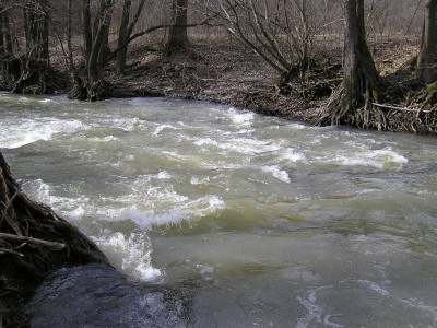
potok Litava na jar roku 2006
When we move on to the East, downstream Litava through locality Zlámaná jama and Zástola, Krášoria extends at altitudes of 437 m followed by Bučina and Osikov to the South.
Northwards from the other side of Litava, there is Litavský Bok and above it Brezovo at altitudes of 368 m. Westwards to the village, there are locality Močiar and nature reserve Šípka at altitudes of 298 m with the area 46.84 ha.
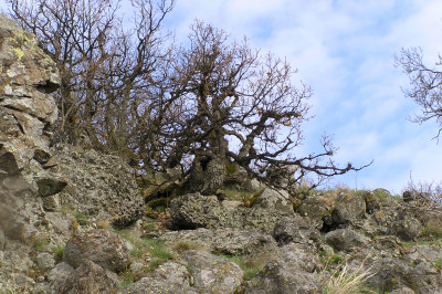
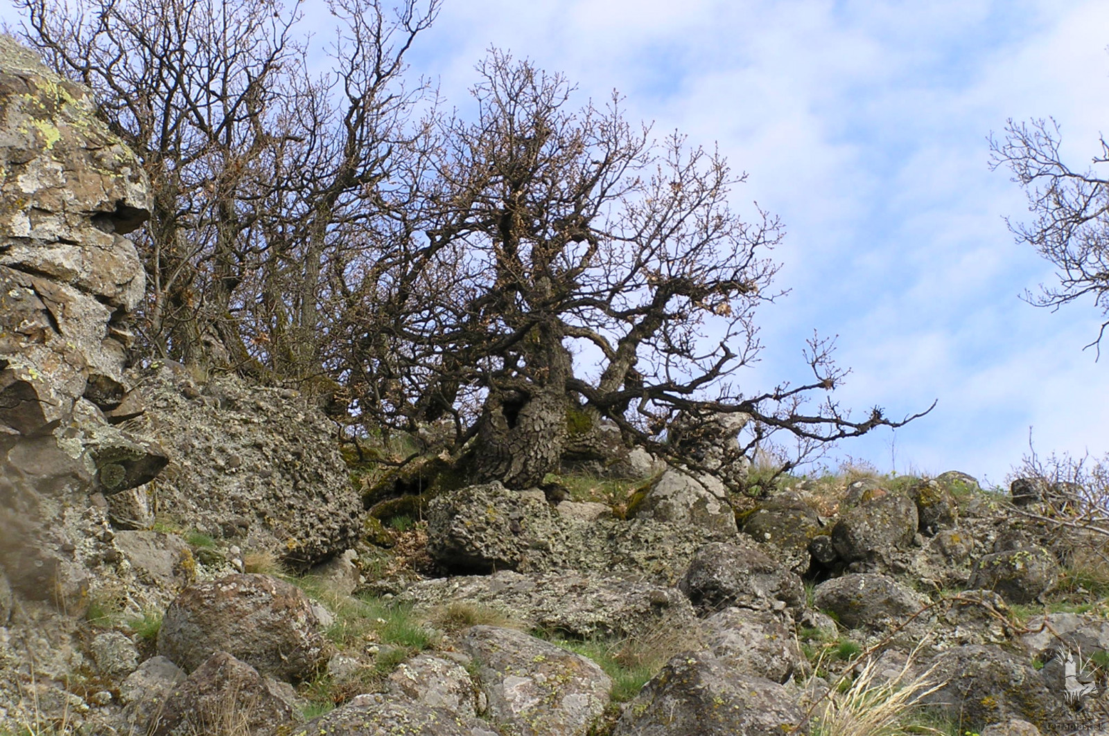
Litavský bok: fotené v apríli 2006
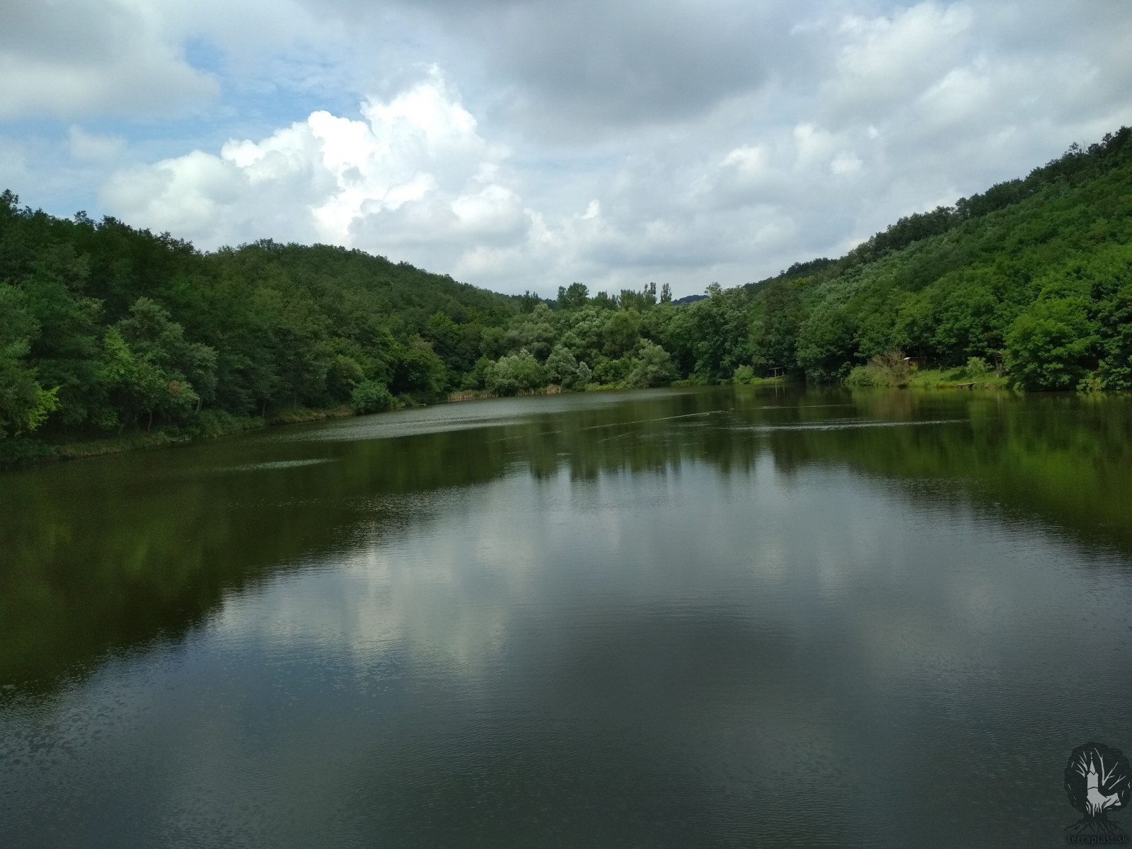
There are Lišinec and Tulipánka northwards from locality Močiar. When we cross the public road and stream Krupinica, we can see Perneš at altitudes of 341 m., Čierny hrad at altitudes of 332 m and Babic. The valley is place where the dam called Tarič extends with the flat 4 ha.
Westwards from the village, the cadastral territory ends in locality Napájadlo. When continuing southwards, we can find Konerád at altitudes of 249 m, Kostolné vinice, Olvár, Iskorniansky vrch and Lomocký at altitudes of 432 m. There is Jalšovský les – Obecná hora below it towards to valley. Next is Jedziny and above it afore mentioned Osikov.
This description of the cadastral territory is a rough sketch. Not all localities, coppices, arable lands, meadows, vineyards and pastures has been mentioned. It is no problem to learn more about these localities when we take in consideration today’s technique.
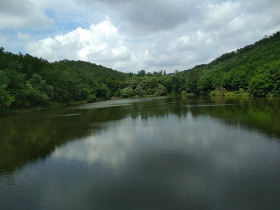
Vodná nádrž Tarič
 terraplast.sk